Introducing FlyBy™ — GeoNeo’s new online platform for remote property monitoring.

Don't drive by...

FlyBy logo

Remote Property Monitoring

Anytime.  Anywhere.

Own Property in Another City?  Don’t Let Distance = Risk.

Peace of Mind

Peace of Mind

Keep an eye on your properties without having to travel to visit. Monitor multiple rentals from one dashboard.

diagram

Seasonal Changes

Track vegetation health, roof conditions, and catch early signs of neglect to prevent costly maintenance issues.

Disaster Check-Ins

Disaster Check-Ins

Know what’s happening when it matters most—with alerts and imagery after storms, fires, and other major events.

Defensible Space

Defensible Space

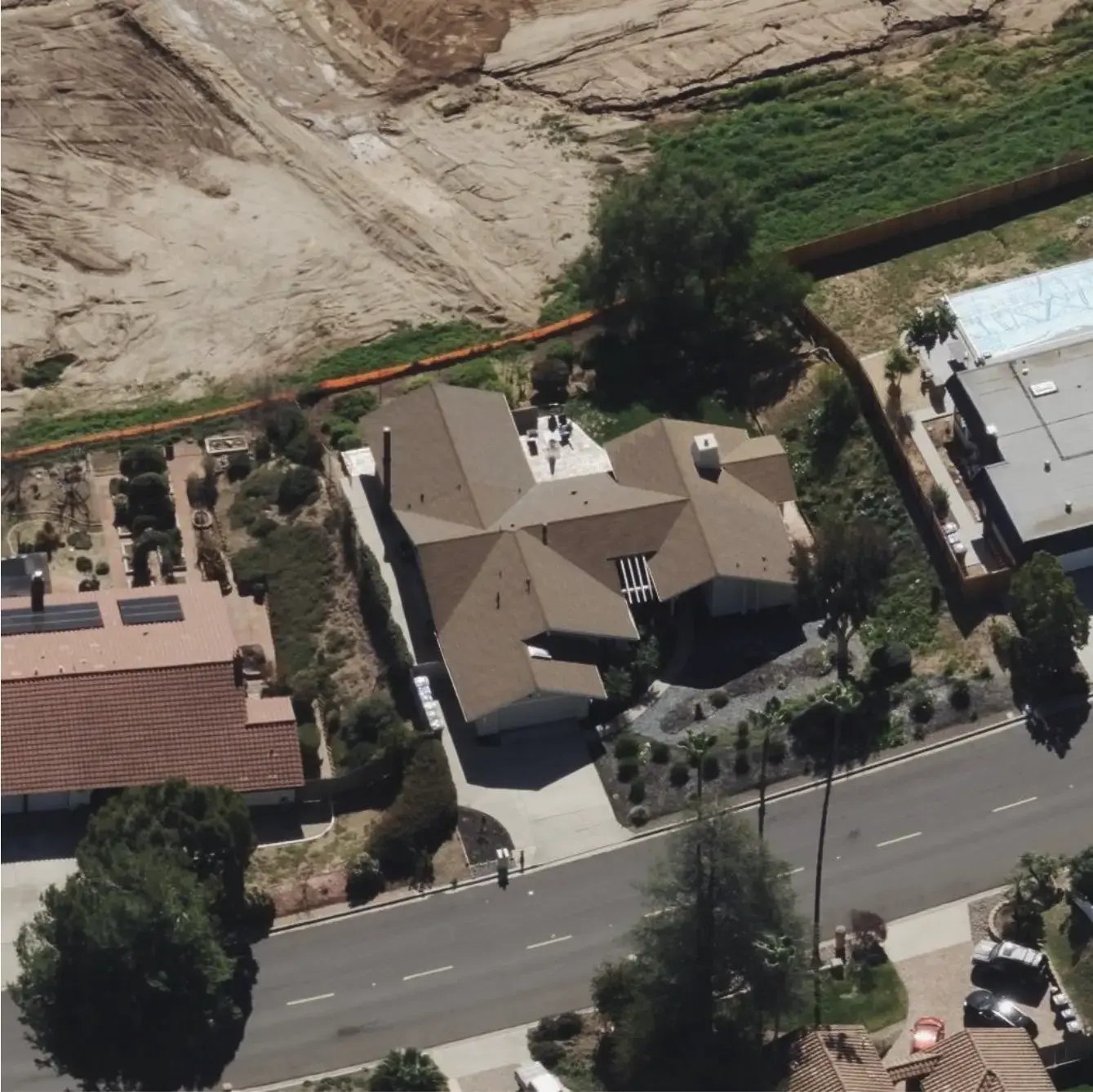
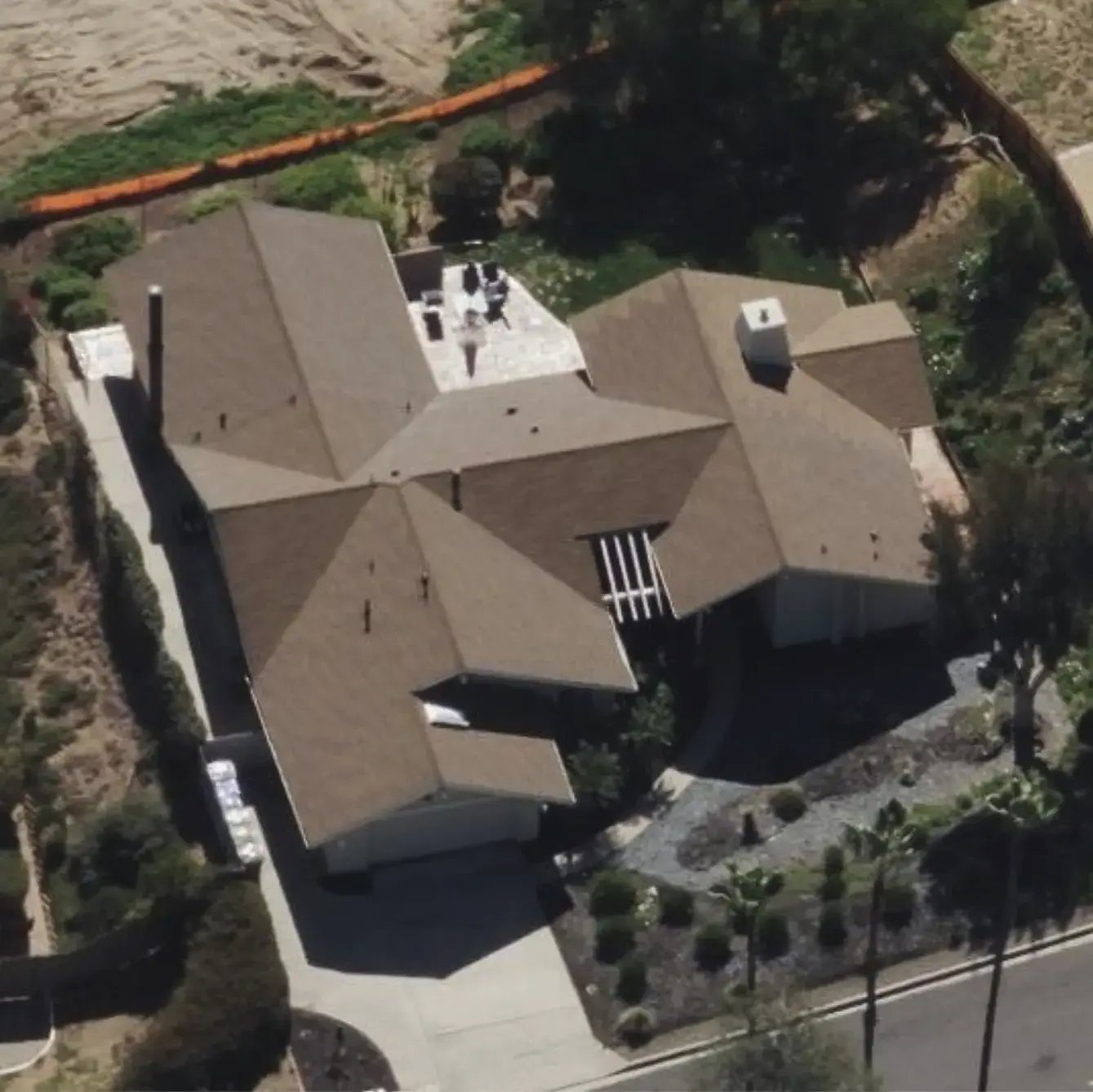
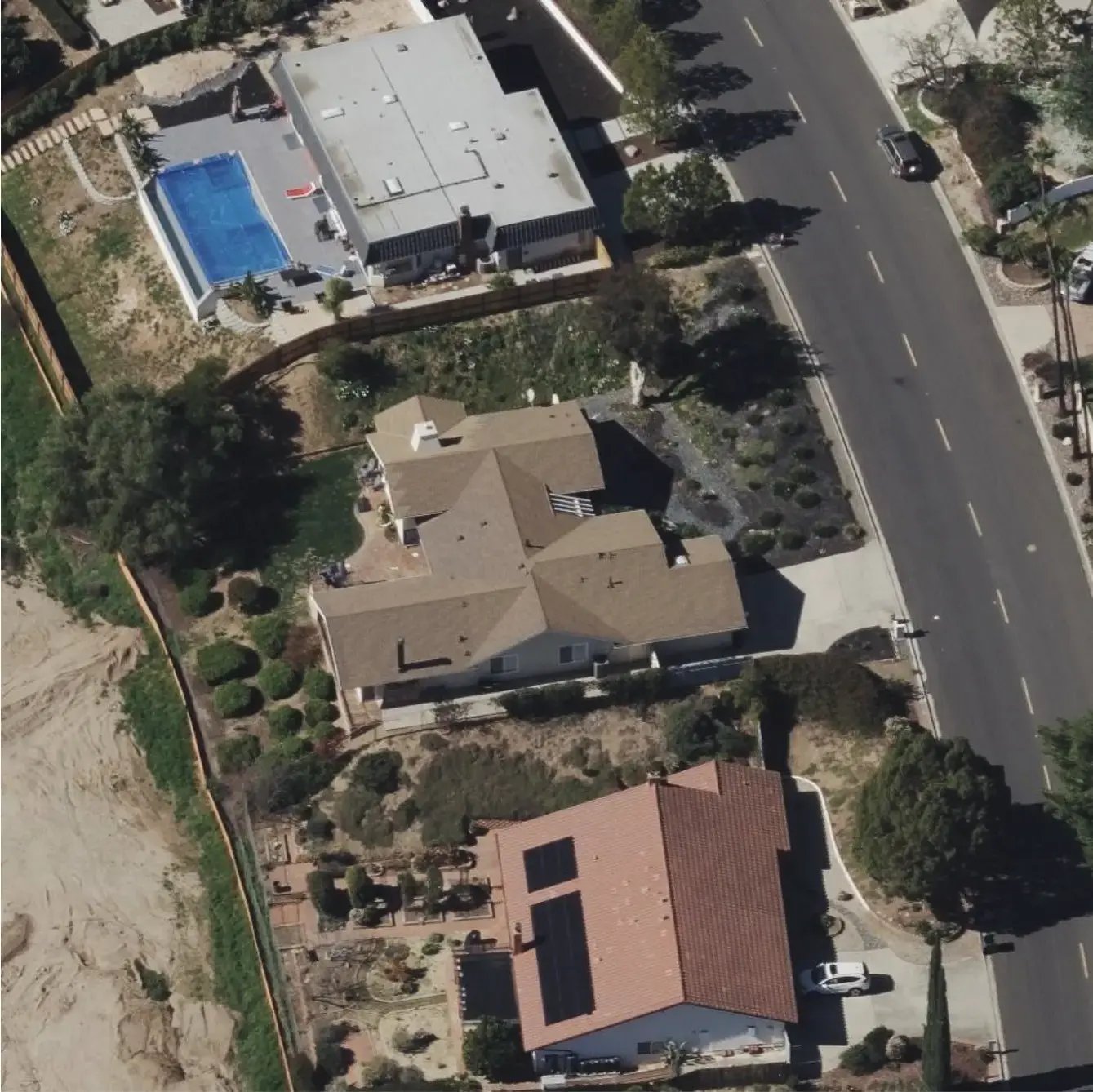
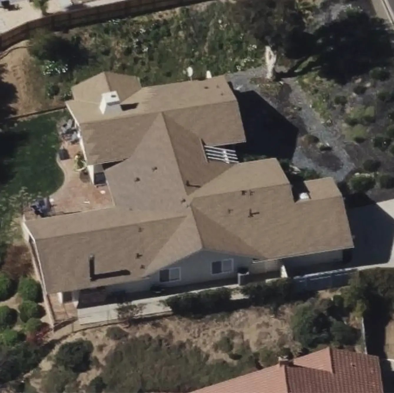
Visually inspect your property to ensure defensible space — essential for fire safety and insurance compliance.
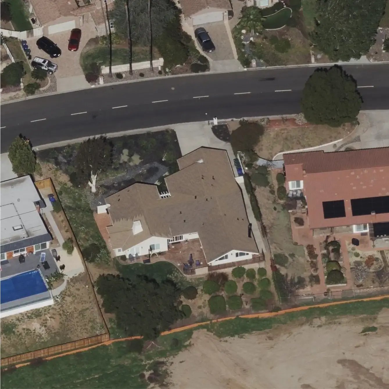
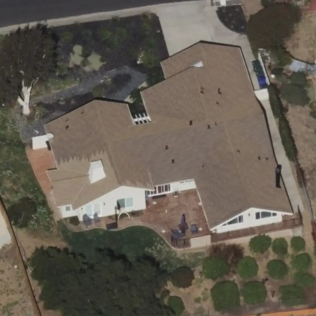
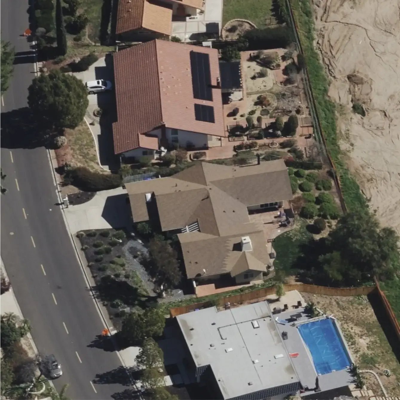
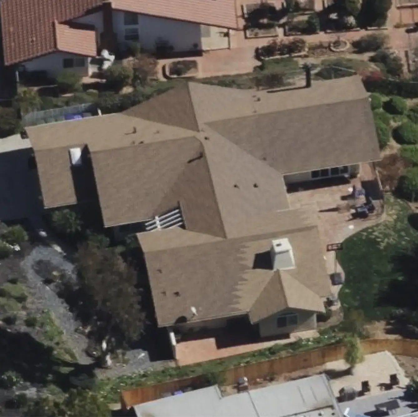
High-resolution
360-degree Views

No matter how far away you are, with FlyBy you can see a 360-degree view of your properties, including areas that are difficult to see from the street during a regular visit.


Perfect For:

  • Remote landlords
  • Out-of-state investors
  • Vacation property owners
  • Estate executors or trustees
  • Anyone who owns property they can't regularly check on in-person
Picture of house from North
Picture of house from North zoomed in
Picture of house from East
Picture of house from East zoomed in
Picture of house from South
Picture of house from South zoomed in
Picture of house from West
Picture of house from West zoomed in
North
North Zoom
East
East Zoom
South
South Zoom
West
West Zoom
Yards & Decks

Yards & Decks

See backyards, side yards, decks, and other areas hidden from the road, and identify issues like debris piles or unauthorized construction.

Roof & Building Condition

Roof & Building Condition

Monitor roofs, including damage, debris, and moss buildup, increasing safety and reducing insurance risks.

Landscaping & Vegetation

Landscaping & Vegetation

Assess landscape conditions, including water levels, pet damage, and defensible spaces in fire-prone areas.

FlyBy Explained

FlyBy for Property Owners

A short "explainer" video to show how FlyBy can help you monitor your real-estate investments with cutting-edge technology from the comfort of your own desk.

FlyBy Demonstration

See FlyBy in action — this quick video shows how easy it is to monitor your properties from anywhere.

FlyBy Highlights

Optimize your time and minimize costs by utilizing FlyBy's up-to-date, high-quality imagery that is tailored perfectly for your property monitoring needs.

building-3

High-Res Imagery Library

FlyBy delivers ultra-clear imagery with resolutions ranging from 3cm to 15cm per pixel, providing property managers and owners with precise, actionable insights, including after natural disasters. 

forward-item

New Imagery Alerts

You will be alerted via email anytime new imagery is collected and becomes available for your properties in FlyBy, ensuring you are always informed and up-to-date with the latest imagery and insights.

driver

99.6% Population Coverage

FlyBy has imagery coverage of roughly 99.6% of the United States population in urban and suburban areas, with more than 7.6 million km² of imagery. Alaska is not available at this time.

AI-driven Insights

AI-driven Insights

Looking ahead, we have exciting plans to harness AI analytics to detect property changes, identify potential risks, and provide actionable insights — delivering even smarter, data-driven property monitoring.

FlyBy "Essentials" Tier

Annual Subscription = $100/Year

Imagery Keys Included = 10

Extra Keys = $10/image

Get Started Now
The Essentials Plan

Other Pricing

We offer flexible plans to fit your needs, from a single property to a large portfolio.

View All Plans
pricing

Check your Address

Curious if FlyBy has imagery for your property? Use our free tool to search for your address and explore available imagery dates before you subscribe.

×